Log in
All resources
Create a design
34,631 Free Images of 1782 Maps
maps made in the 17th century
maps made in the 18th century
charts and maps of the royal museums greenwich
1590 maps
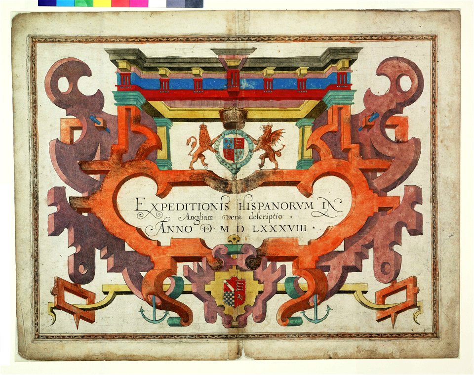
expeditionis hispanorum in angliam vera descriptio anno domini mdlxxxviii
augustine ryther
atlantis magni tomus tertius (biblioteca comunale di trento)
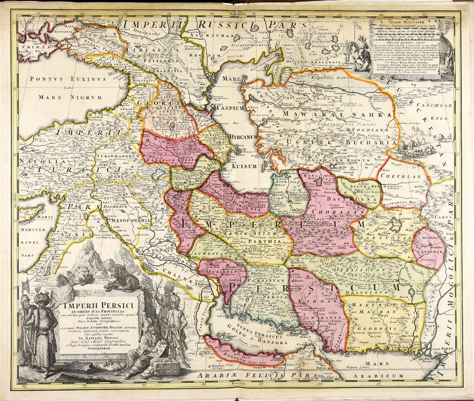
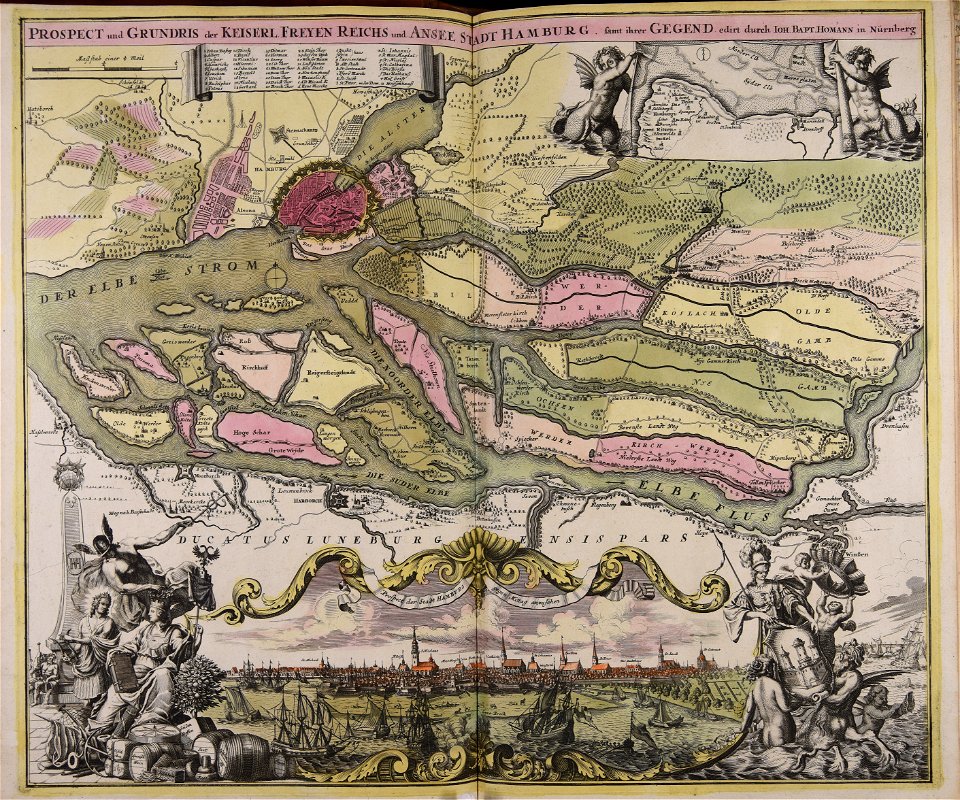
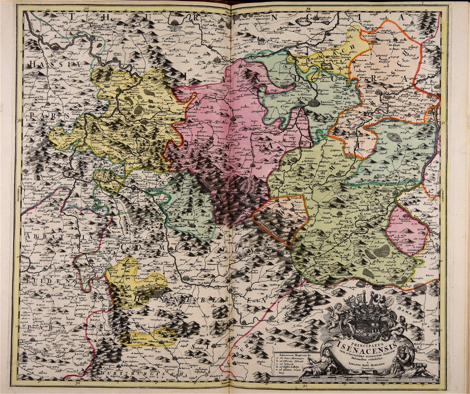
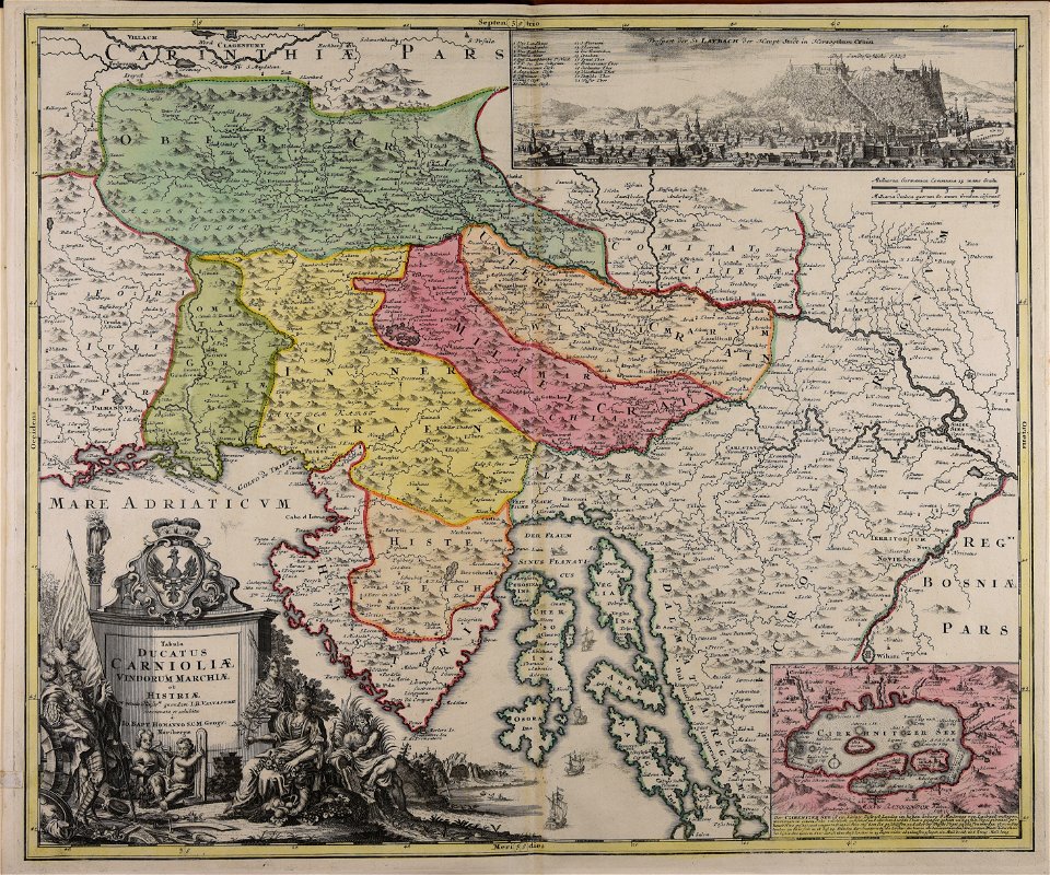
johann baptist homann
atlantis magni tomus secundus (biblioteca comunale di trento)
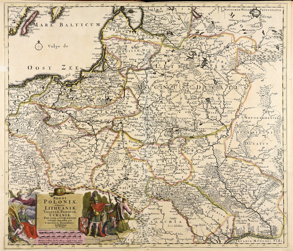
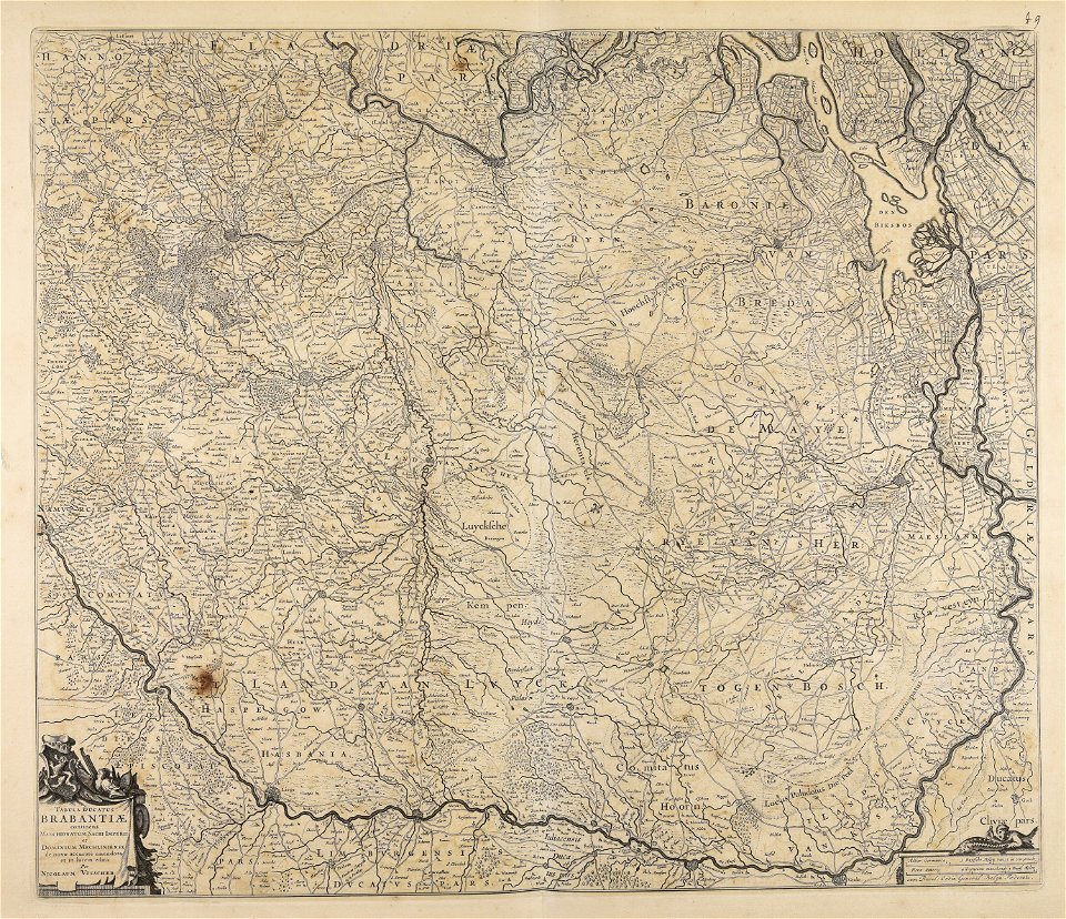
nicolaes visscher ii
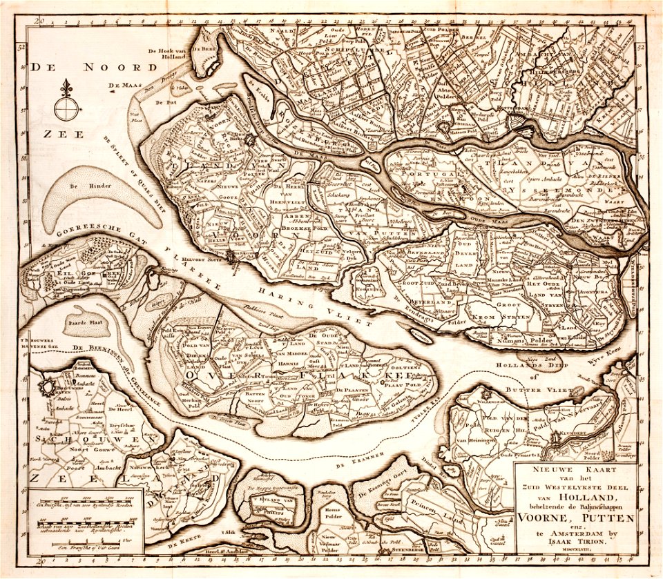
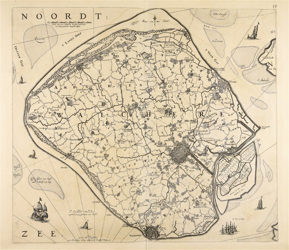
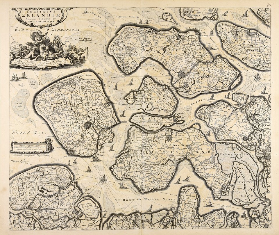
old maps of zeeland
old maps of holland
maps made in the 17th century
jan janssonius
18th-century maps of schleswig-holstein
maps by pieter schenk (i)
maps made in the 16th century
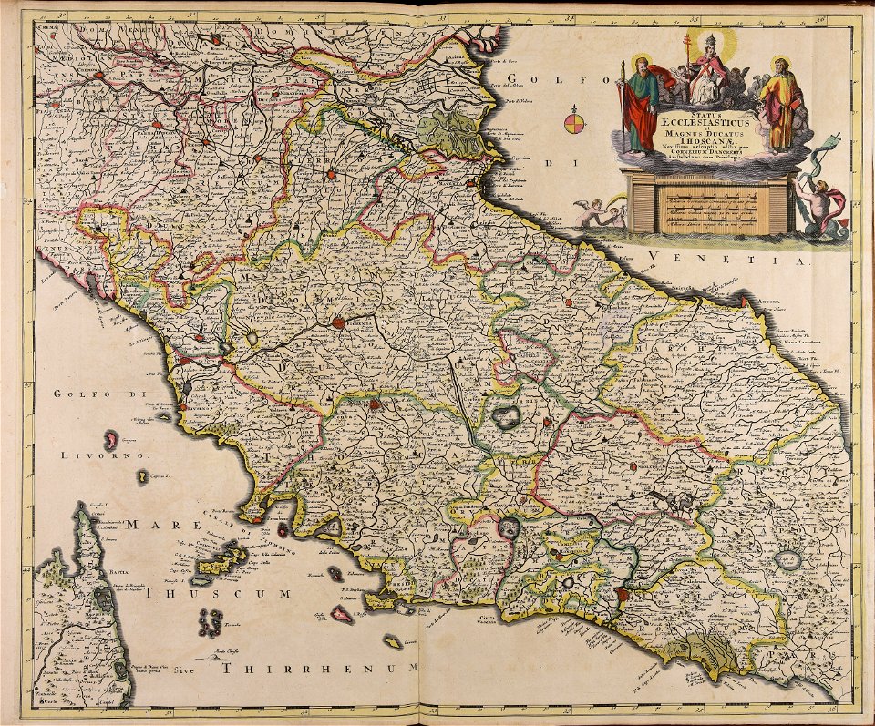
old maps of lazio
atlantis magni tomus quintus (biblioteca comunale di trento)
maps made in the 18th century
atlantis magni tomus tertius (biblioteca comunale di trento)
maps made in the 17th century
maps made in the 16th century
old maps of lombardy
atlantis magni tomus tertius (biblioteca comunale di trento)
maps made in the 17th century
maps made in the 18th century
johann baptist homann
maps made in the 17th century
old celestial maps
alfred johannot
bridge of arts
atlantis magni tomus quartus (biblioteca comunale di trento)
maps made in the 17th century
atlantis magni tomus quartus (biblioteca comunale di trento)
maps made in the 18th century
volume 1 of le tour du monde
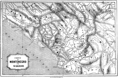
maps of the bay of kotor
images from the john carter brown library
maps by samuel de champlain
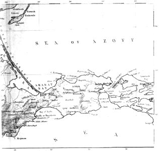
old maps of the sea of azov
1856 maps
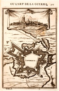
old maps of landrecies
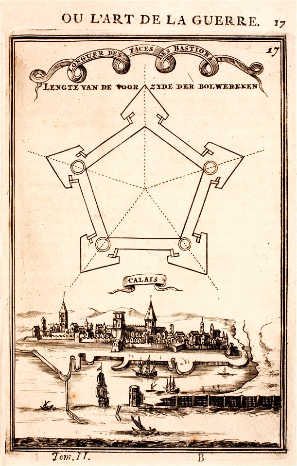
pentagon
images from bau- und kunstdenkmäler des regierungsbezirks wiesbaden (volume 5)
german-language maps showing history of europe
old maps of calais
pentagon
charts and maps of the royal museums greenwich
1590 maps
maps made in the 18th century
gerard valck
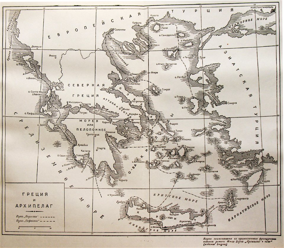
russian-language maps
old maps of greece
topographic maps of afghanistan
wakhan corridor
maps made in the 17th century
frederick de wit
maps made in the 17th century
nicolaes visscher ii
fonds ancely - bibliothèque municipale de toulouse - maps
françois arago
gerard valck
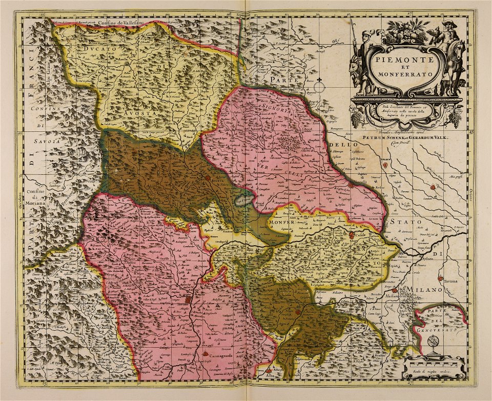
piedmont
old maps of nuremberg
johann baptist homann
maps made in the 18th century
johann baptist homann
maps made in the 18th century
johann baptist homann
maps made in the 18th century
johann baptist homann
maps made in the 18th century
johann baptist homann
maps made in the 18th century
johann baptist homann
old maps of the world
1880 maps
maps made in the 18th century
johann baptist homann
bamako in the 1880s
military maps
maps made in the 17th century
cornelis danckerts (i)
maps made in the 17th century
jan janssonius
charts and maps of the royal museums greenwich
1590 maps
charts and maps of the royal museums greenwich
1590 maps
charts and maps of the royal museums greenwich
1590 maps
old maps of the sea of azov
1856 maps
charts and maps of the royal museums greenwich
1590 maps
charts and maps of the royal museums greenwich
1590 maps
maps made in the 17th century
old maps of italy
charts and maps of the royal museums greenwich
1590 maps
charts and maps of the royal museums greenwich
1590 maps
charts and maps of the royal museums greenwich
1590 maps
charts and maps of the royal museums greenwich
1590 maps
charts and maps of the royal museums greenwich
1590 maps
charts and maps of the royal museums greenwich
1590 maps
charts and maps of the royal museums greenwich
1590 maps
charts and maps of the royal museums greenwich
1590 maps
charts and maps of the royal museums greenwich
1590 maps
charts and maps of the royal museums greenwich
1590 maps
engravings after peter paul rubens
harvard university
charts and maps of the royal museums greenwich
1590 maps
maps made in the 18th century
gerard van keulen
maps made in the 18th century
johann baptist homann
maps made in the 17th century
old maps of gelderland
atlantis magni tomus quintus (biblioteca comunale di trento)
maps made in the 17th century
maps by willem and johannes blaeu
1649
maps made in the 17th century
jan janssonius
maps made in the 18th century
johann baptist homann
maps made in the 18th century
gerard valck
maps made in the 18th century
maps by pieter schenk (i)
small atlas of the russian empire (1796)
old maps of viceroyalty of the caucasus
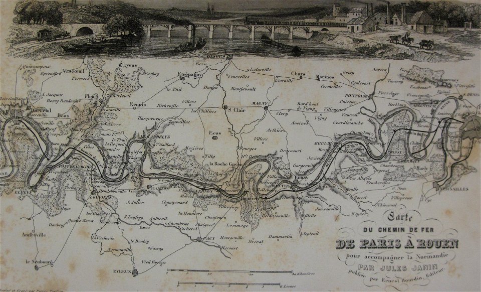
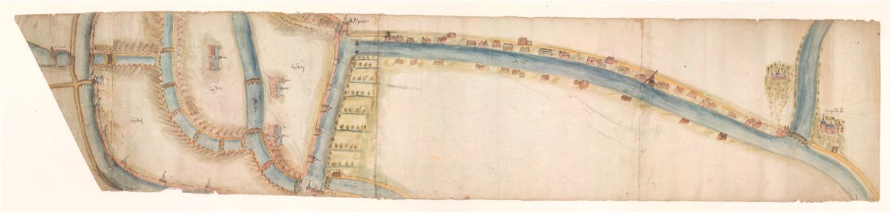
maps of waterways in the netherlands
leiden
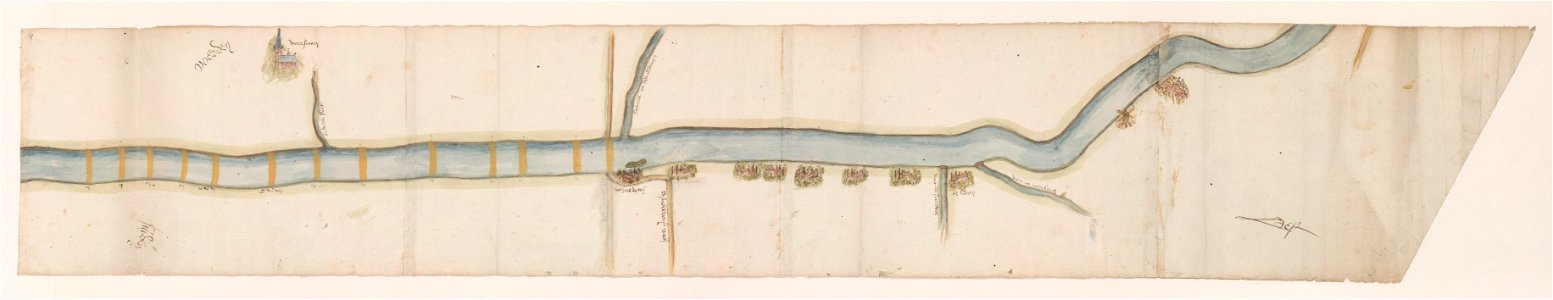
maps of waterways in the netherlands
voorschoten
maps made in the 17th century
nicolaes visscher ii
maps made in the 17th century
nicolaes visscher ii
maps made in the 17th century
nicolaes visscher ii
maps of bremen by c. a. heineken
maps made in the 18th century
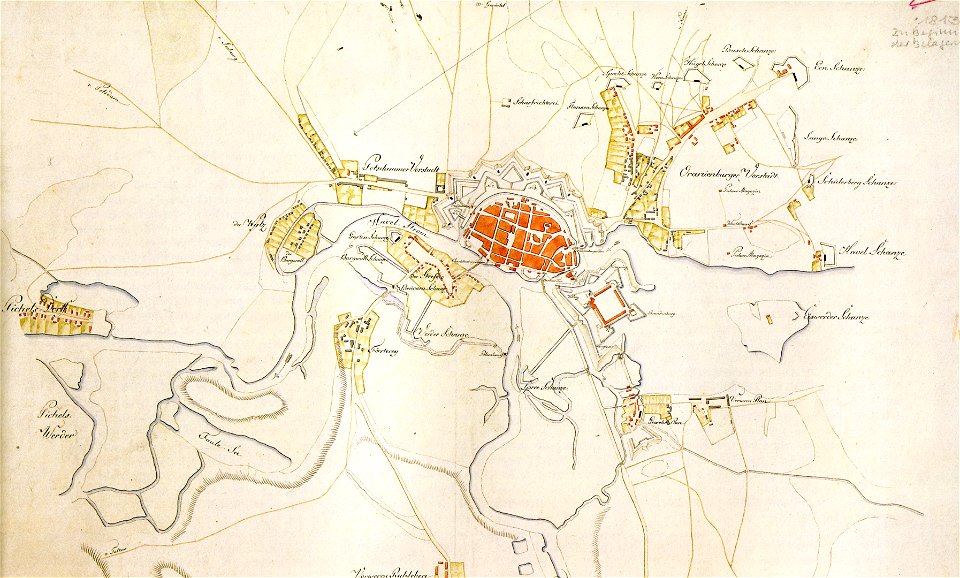
historical documents of the spandau citadel
festung spandau
maps made in the 18th century
johann baptist homann
maps made in the 17th century
nicolaes visscher ii
maps made in the 17th century
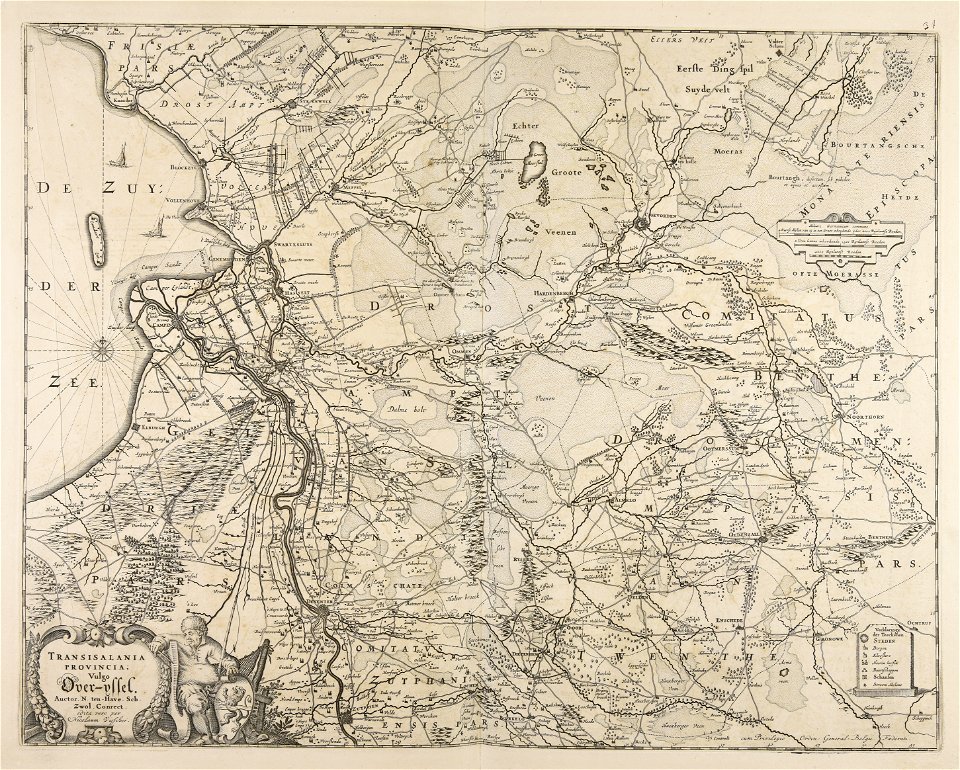
old maps of overijssel
caricatures of wilhelm ii of germany
cornell university library
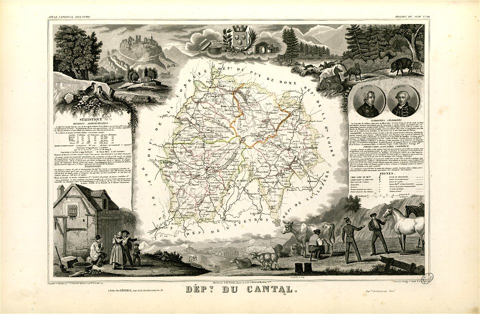
coats of arms of cities in cantal
pierre laurent buirette de belloy
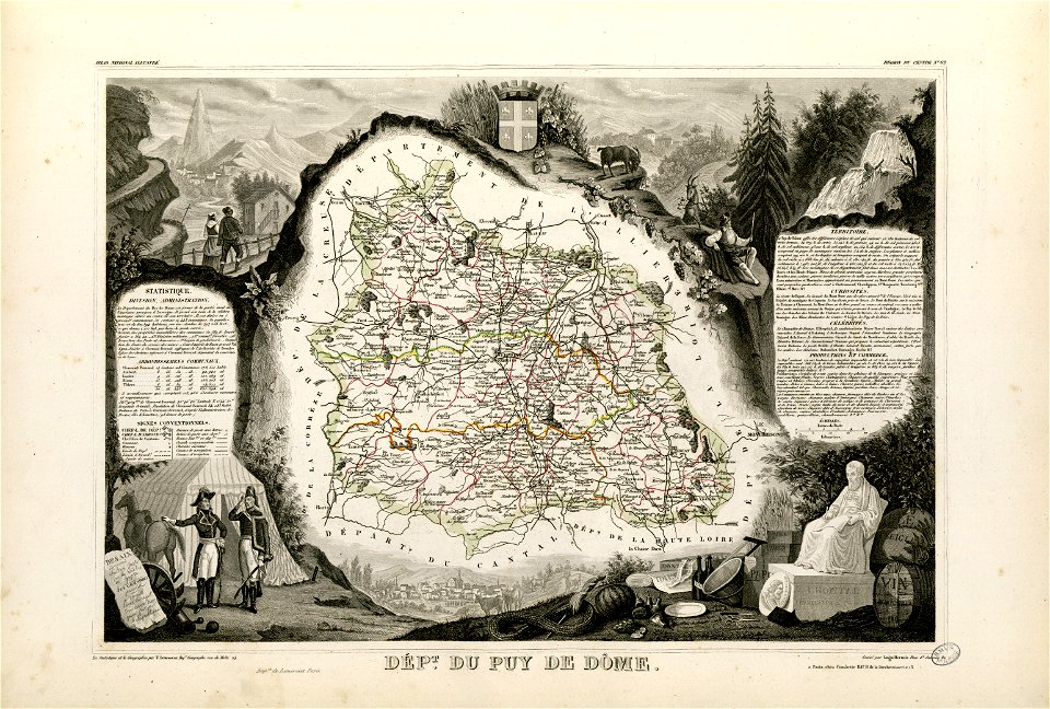
coats of arms of cities in puy-de-dôme
vercingetorix
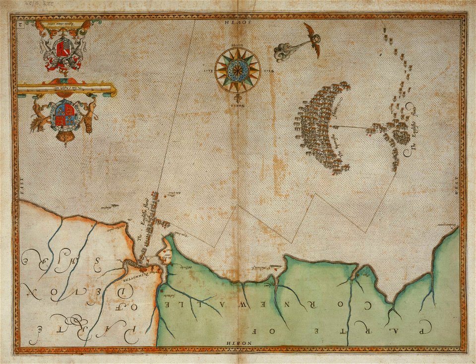
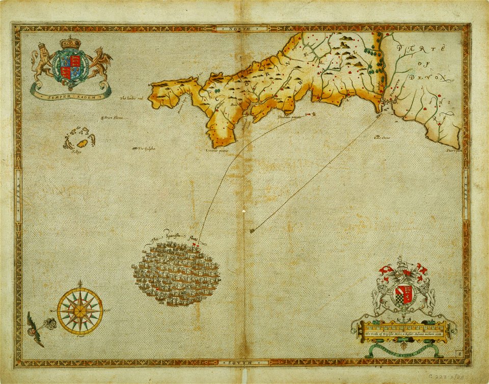
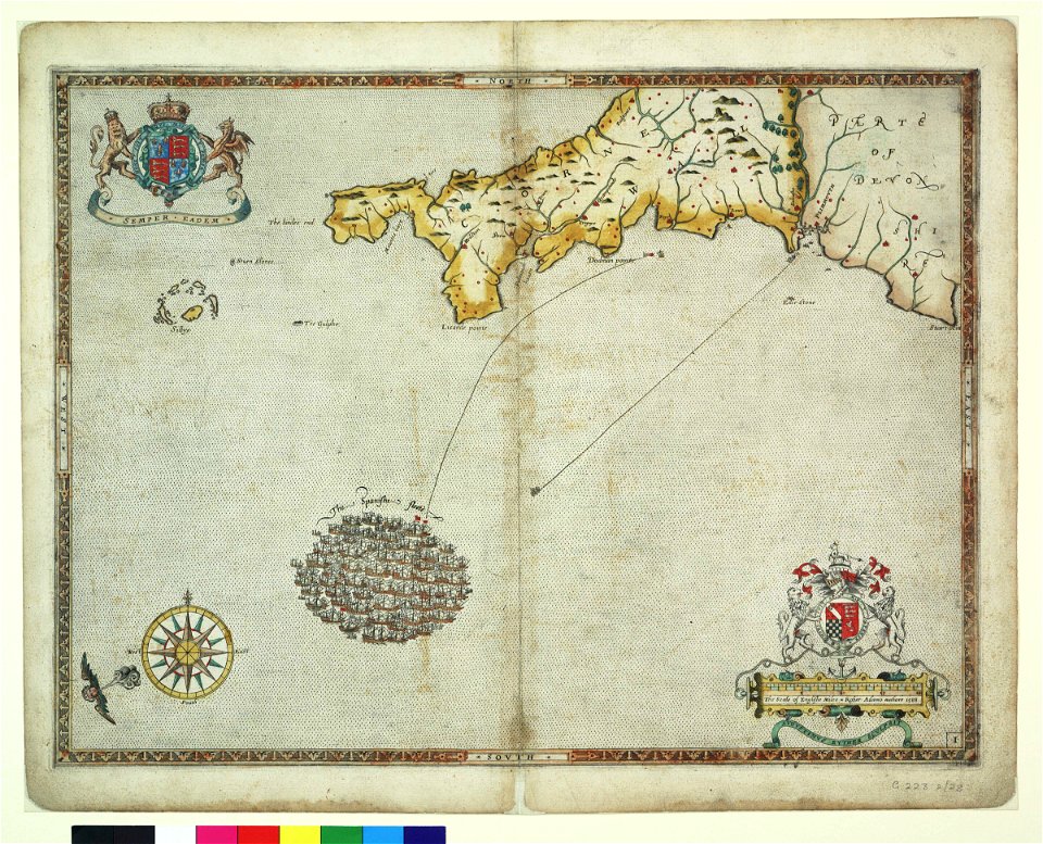
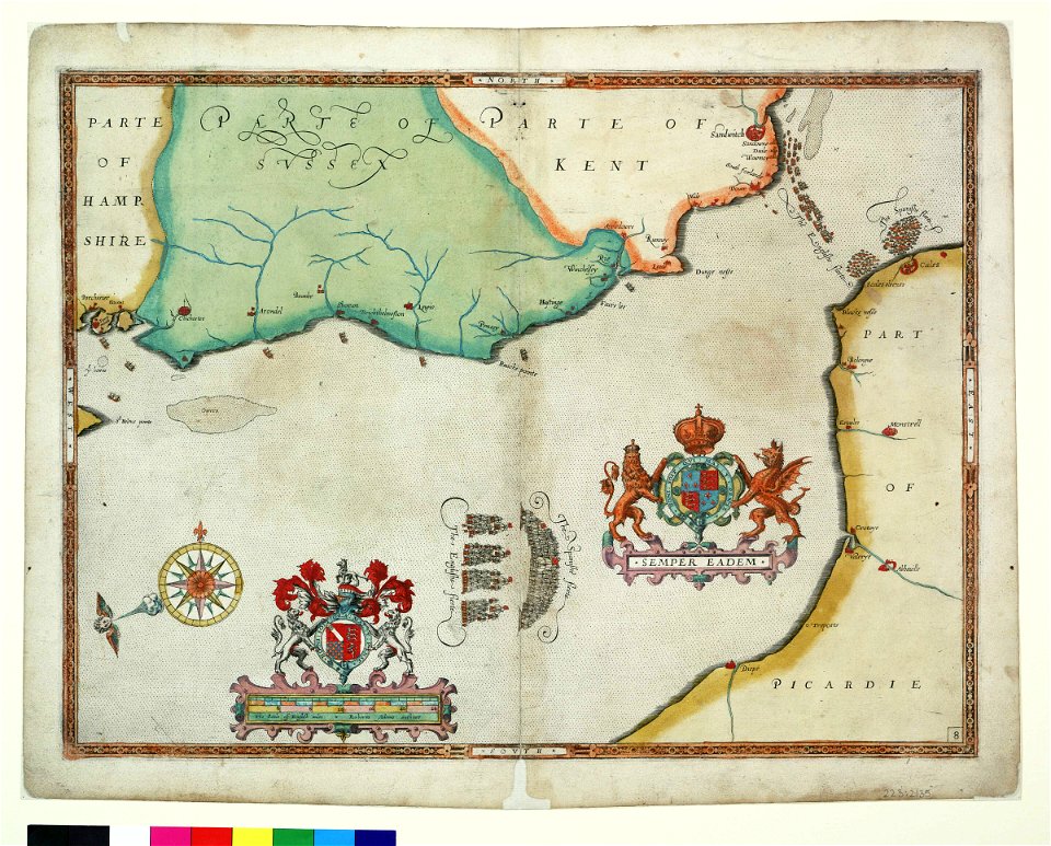
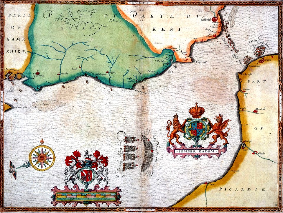
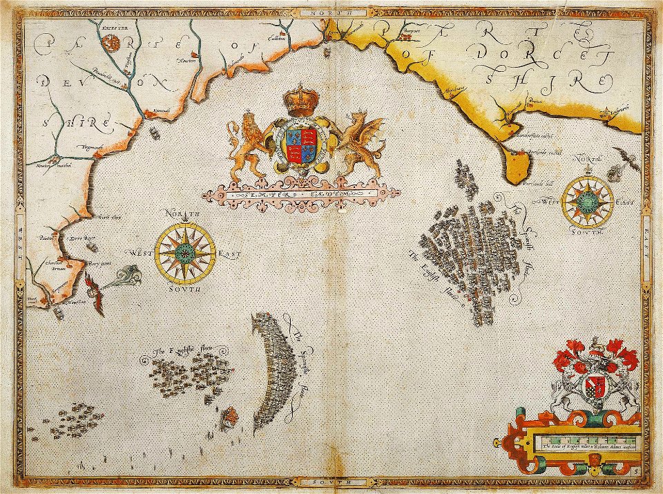
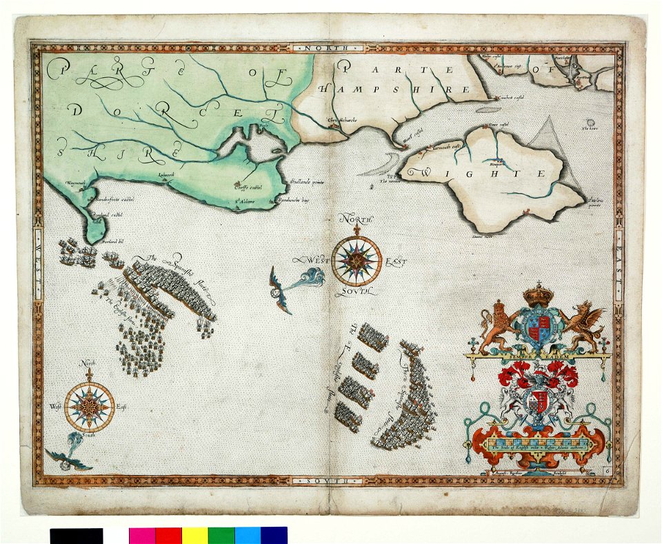
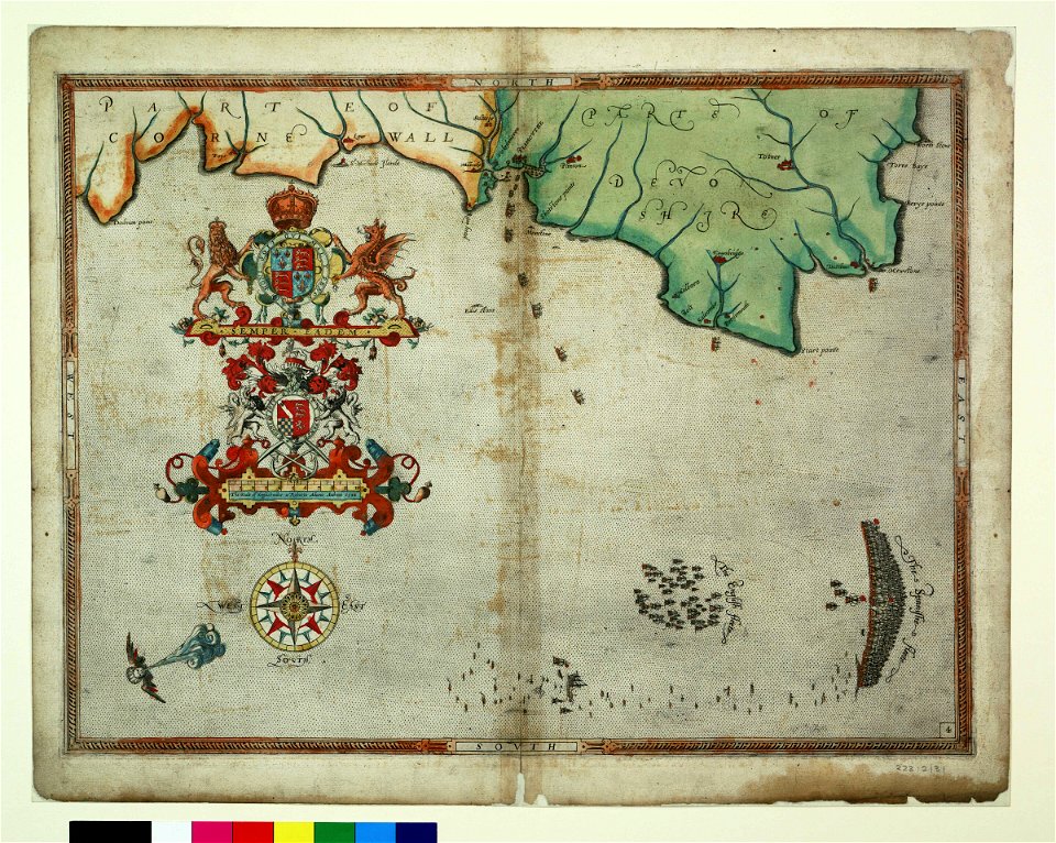
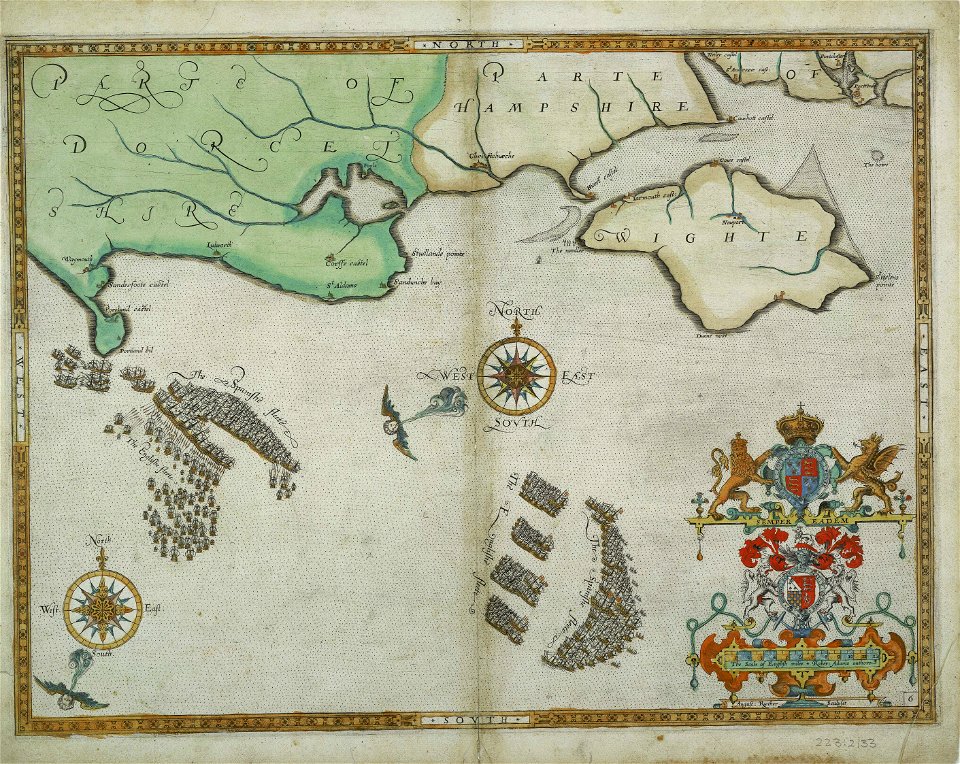
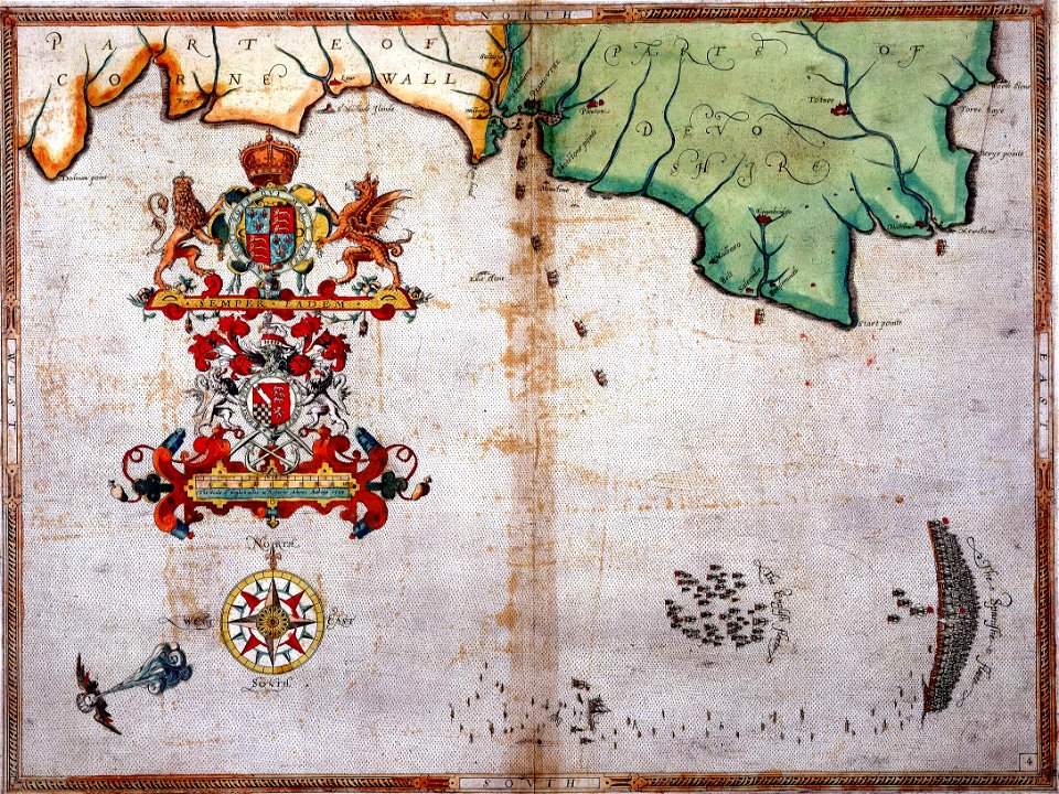
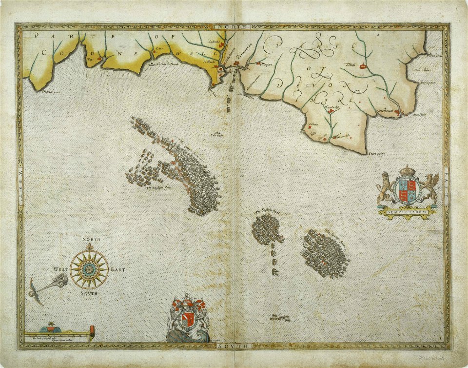
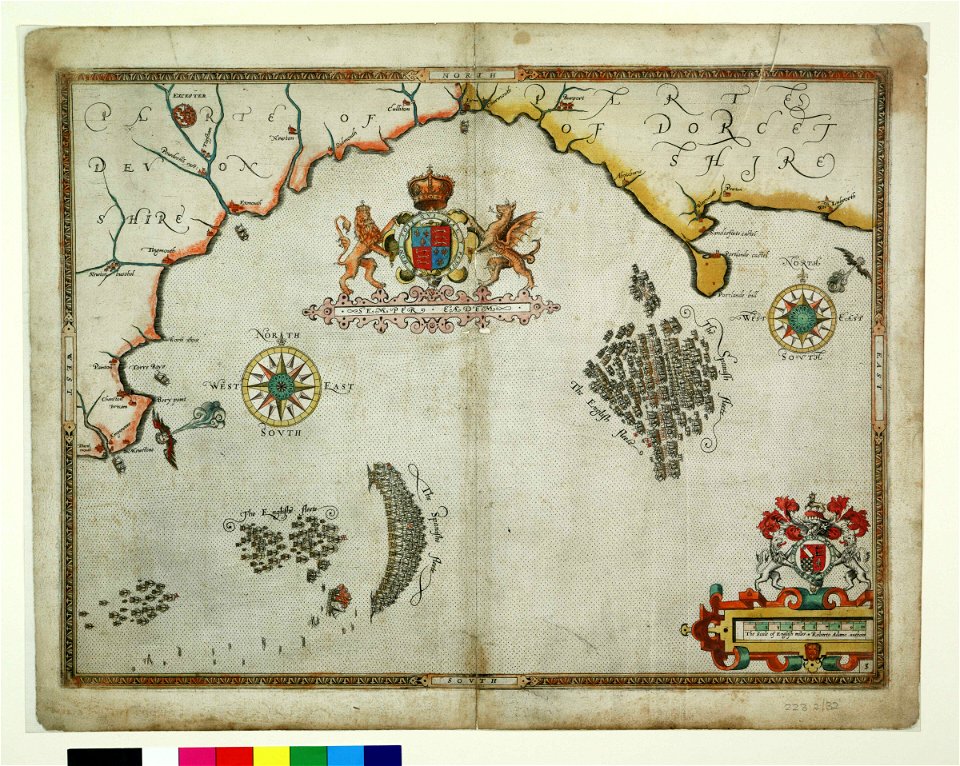
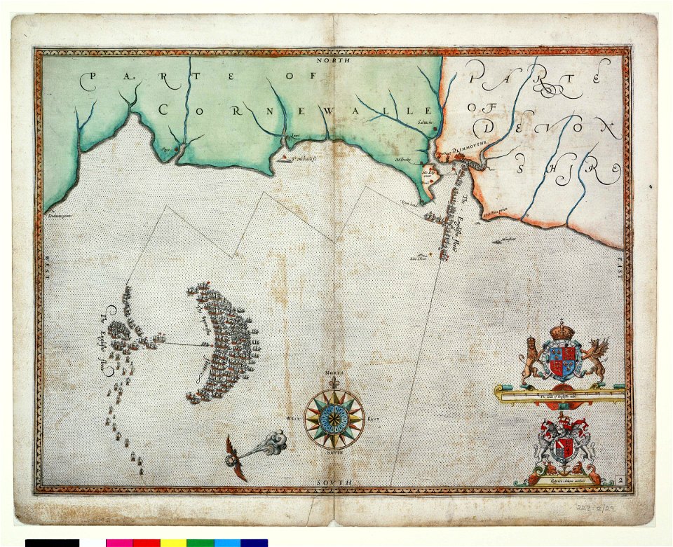
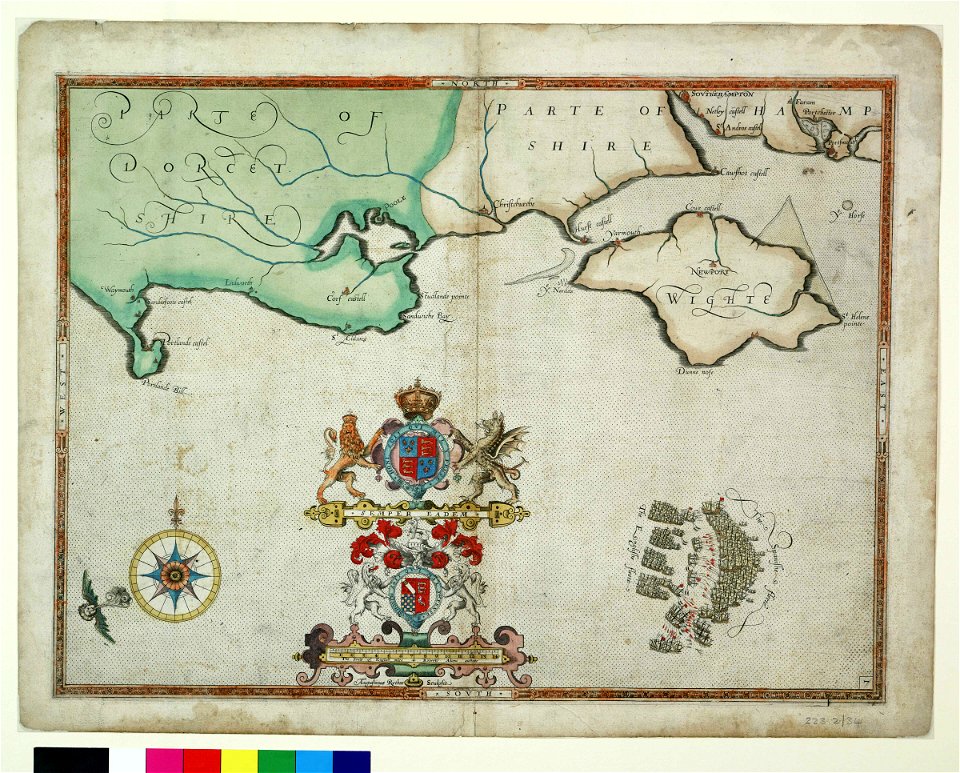
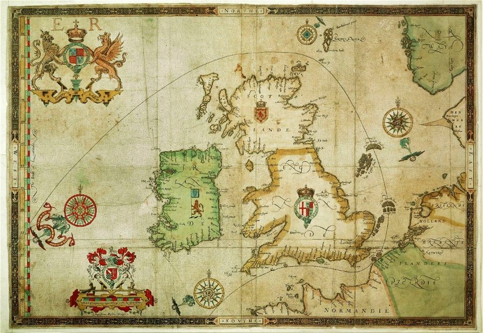
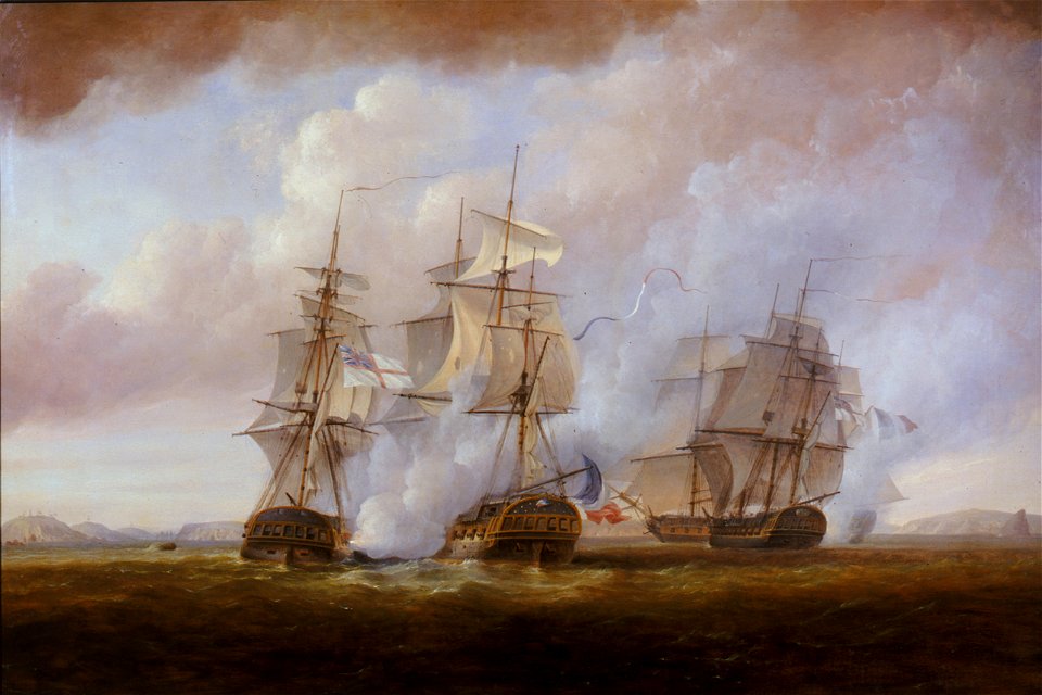
the track of the armada around britain and ireland
london
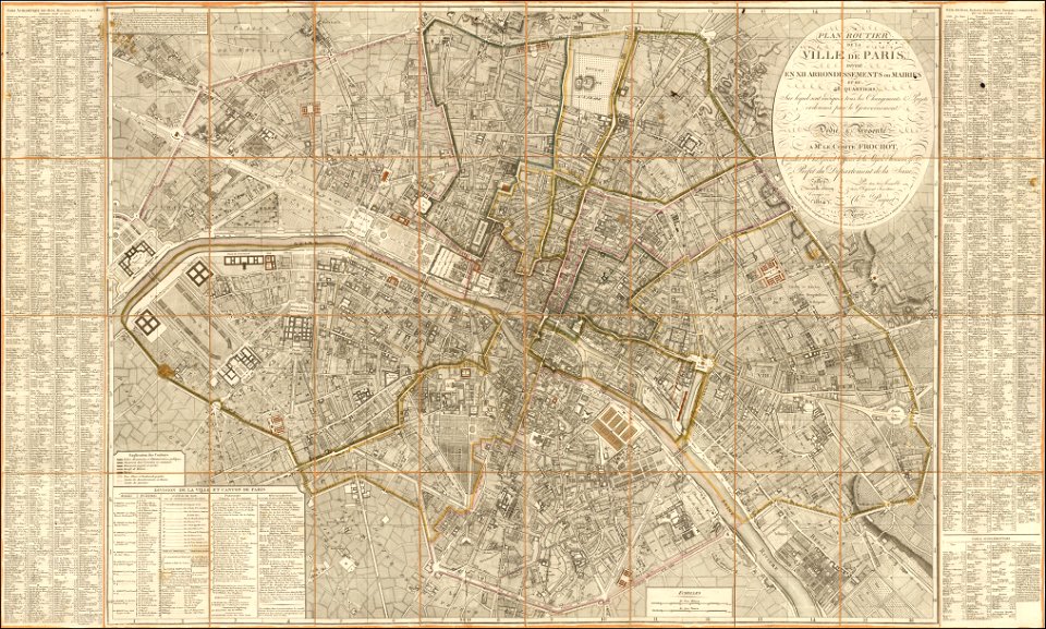
maps of paris from the barry lawrence ruderman antique maps inc.
1814 in paris
atlas van der hagen (volume 4)
maps with cartouches
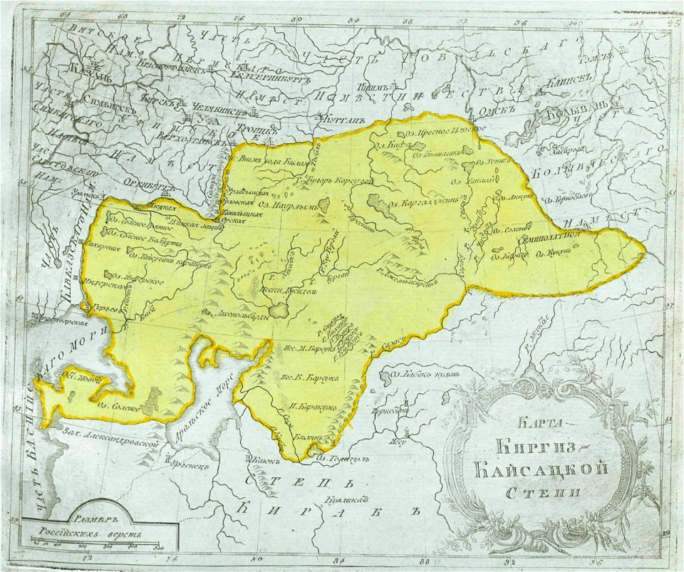
maps of central asia
maps of kazakhstan
fortifications in the netherlands
history of tiel
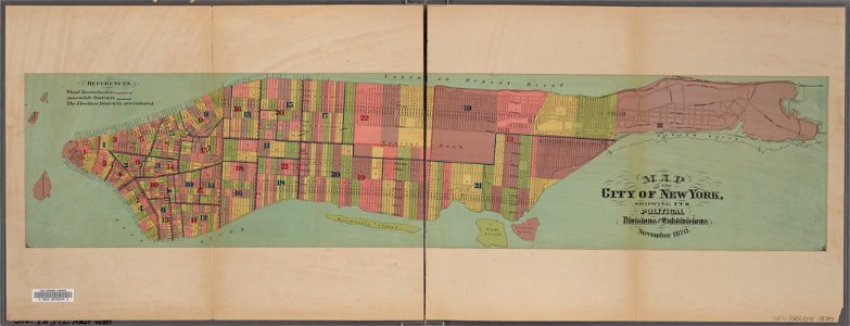
manual of the corporation of the city of new york (1870)
new york city
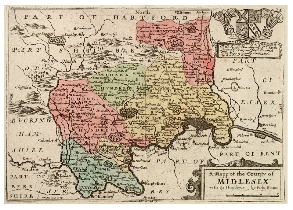
university of toronto wenceslas hollar digital collection
surrey
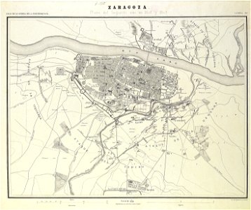
second siege of zaragoza
1868
maps of thaumasia quadrangle
mars topography
1794 rocque wall map of ireland
county clare
margraviate of moravia (1628-1782)
coats of arms on maps
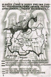
greater poland
map postcards
paintings in the ashmolean museum
pius vi on paintings
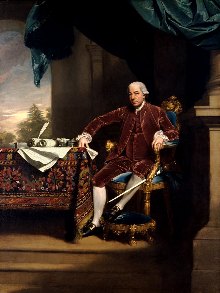
portraits of men by john singleton copley
portraits in palace loggia
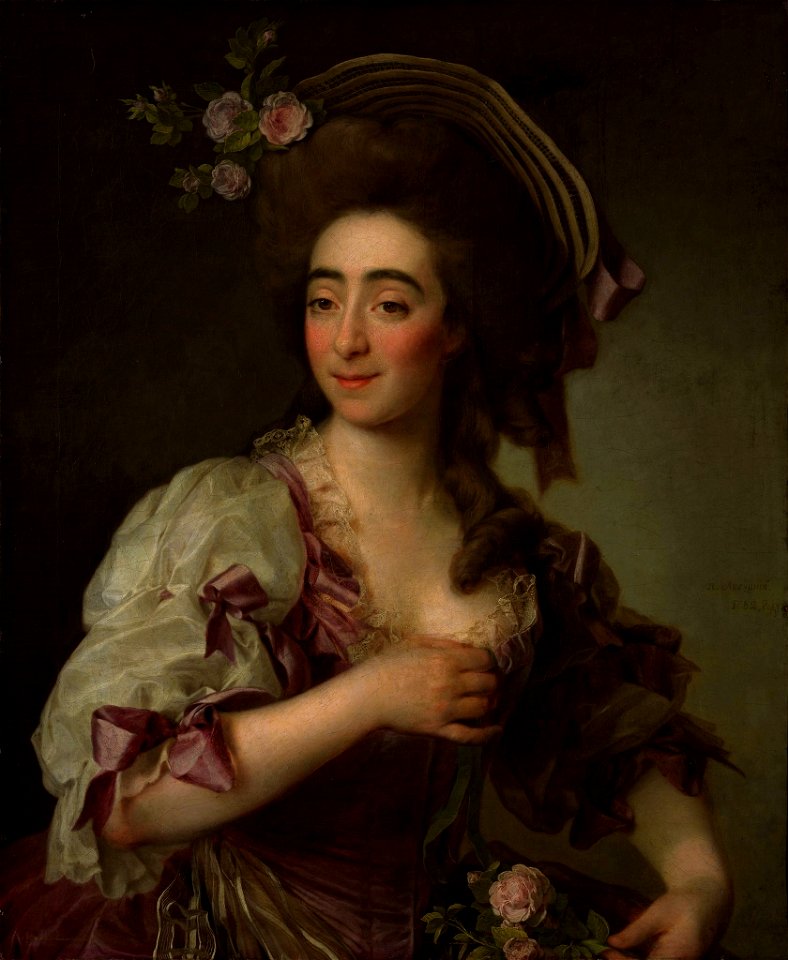
portrait paintings of women wearing hats
portrait paintings of actresses
oil painting
london
map of the german empire by louis stanislas d'arcy de la rochette
1782 maps of the holy roman empire
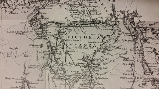
through the dark continent
lake victoria
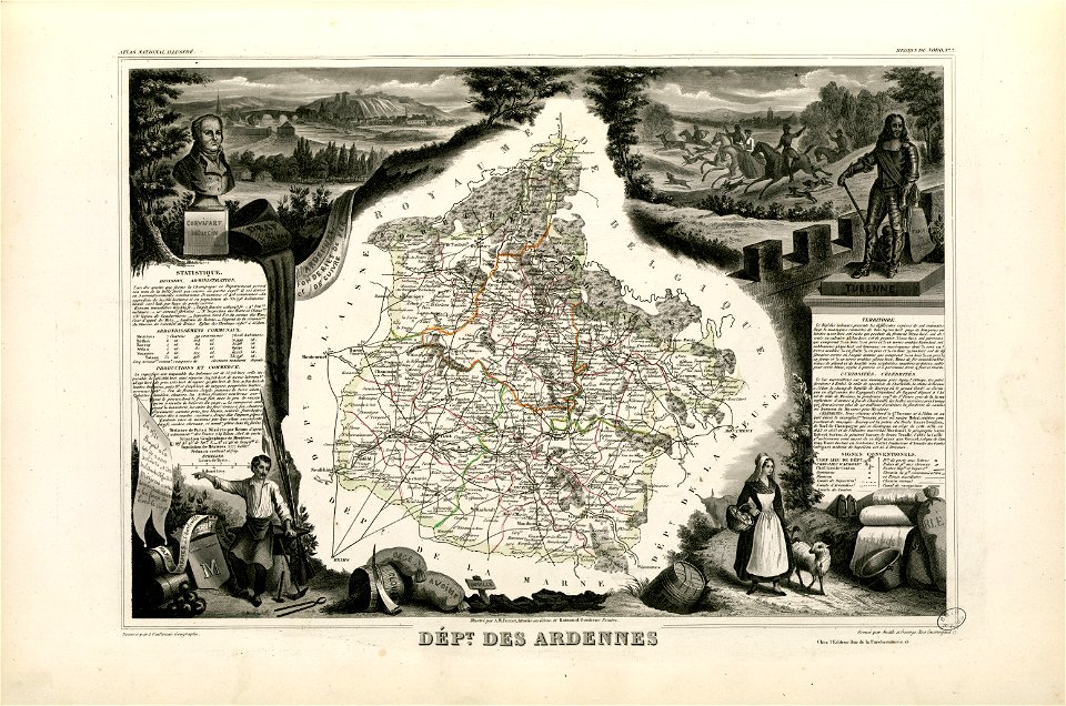
old maps of ardennes (department)
henri de la tour d'auvergne
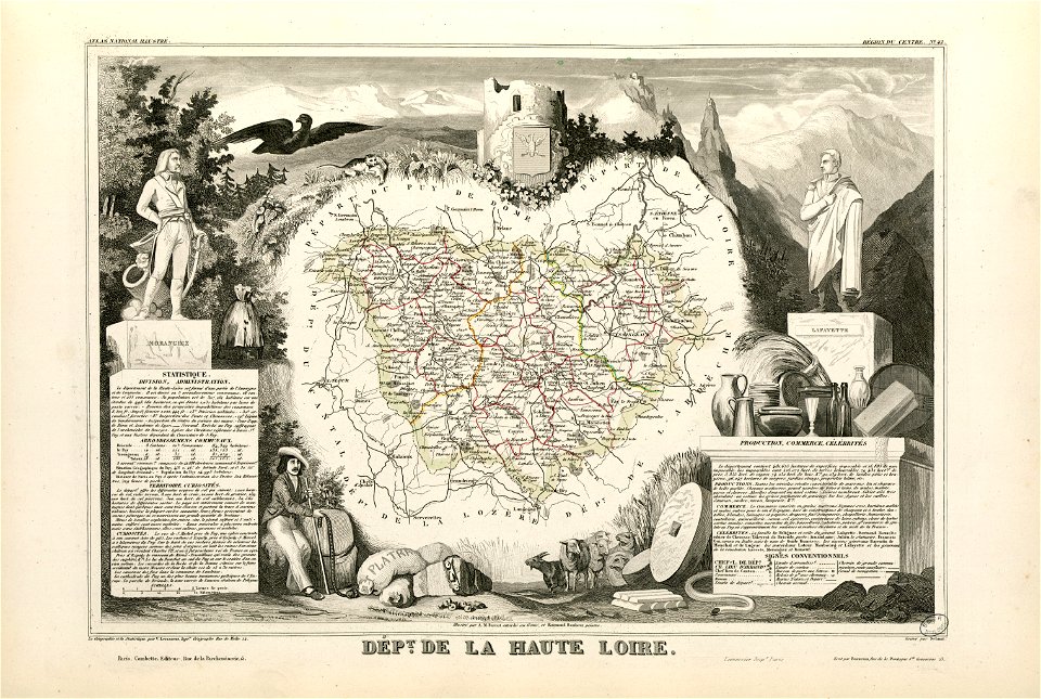
coats of arms of cities in haute-loire
marquis de la fayette
6401 - 6500 of 34,631
Next page
/ 347